Posts

2019 Bicol Road Trip: Day 1

Image
INTRO May has always been my family's travel month. Last year , we've spent half the month exploring the Kansai Region of Japan . For this year, we decided to do a five-day road trip to the Bicol Region here in the Philippines.  2019 Bicol Road Trip: Day 1 The original plan was to explore the different destinations in the province of Albay, particularly those in the hometown of dad in Camalig. Aside from that, we'd also visit select places in the province of Camarines Sur and Sorsogon. We'll also use this opportunity to visit my 90+-year-old grandmother and my father's siblings who are living in Bantunan, Camalig. In the next few weeks, I will be posting articles about each day of our family adventure and also individual articles about the different places that we have visited during that time so tag along as we spend five days exploring the Bicol Region. Day 1: May 21, 2019 Off to Naga City Are you game for a long drive? Passing through the Que
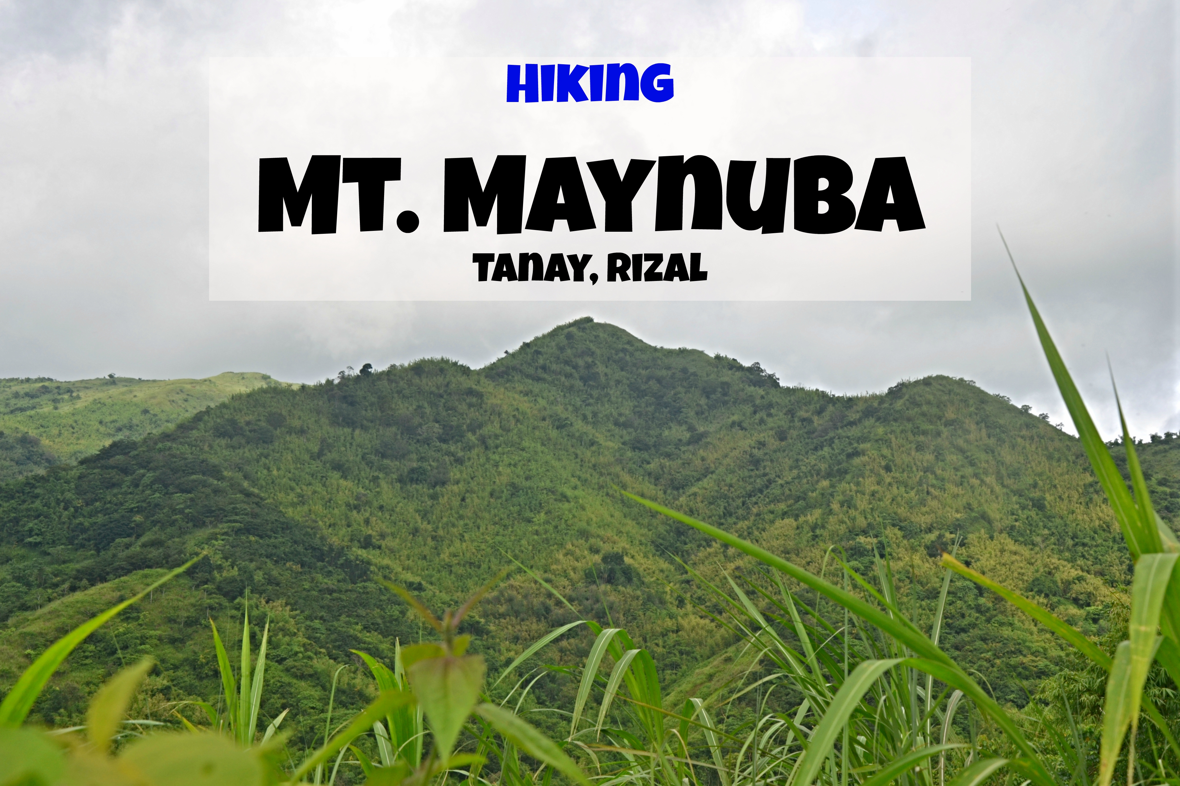
Hiking Mt. Maynuba

Image
Our adventurous feet bring us to Barangay Cayabu which is located in the mountainous municipality of Tanay, Rizal. Today, we'll be hiking Mt. Maynuba which is one of the best places to view the scenic Sierra Madre mountain range, and if you're lucky, the breathtaking sea of clouds. The mountain is also called  Mt. Maynoba   by some . Mt. Maynuba Mt. Maynuba Details: Mt. Maynuba is the collective name for the three peaks of one of the mountains in the foothills of the Sierra Madre mountain range. These peaks are referred to by the guides as Peak 1, 2, and 3. Peak 1 stands 610 MASL, Peak 2 (the most famous of the three peaks) stands 662 MASL, and Peak 3 (the highest) is 728 MASL.  Mt. Cayabu and Mt. Maynuba registration area According to our guide, Mt. Maynuba got its name from " Manunuba ng Isda " which was one of the main livelihoods of the locals.   Off to the mountain Here's a bit of river crossing That's Mt. Cayabu at the distance,

Hiking Mt. Cayabu

Image
Located at Barangay Cayabu, Tanay in the province of Rizal, Mt. Cayabu is one of the minor climbs of the province and is mostly partnered with the higher Mt. Maynuba . Mt. Cayabu Mt. Cayabu Details: Mt. Cayabu stands 520 meters above sea level. According to our guide Ate Josephine, the mountain and the barangay got its name from "Ka Ambo" who was a well-known elder and founder of the barangay. The registration area Check out the different packages and prices For those who are veterans in hiking or walking long distances, Mt. Cayabu is a fairly easy hike with a straightforward trail. From the registration area near Cayabu National High School, it will only take about 1 hour to 1 1/2 hours hike to reach its peak.  Met our guide, we're ready to go! Off to Mt. Cayabu Heads up, there's a river crossing. Here we go! My cousins and I got to hike this mountain last July 2019 as part of the " Cayabu-Maynuba Loop ". At some point, we

Book your hotel thru KLOOK

Klook.com
Subscribe and get updated with the latest travel articles of The Backpack Adventures