Posts

Landmarks of Quezon Province

Image
All found in the province of Quezon and mostly along the Pan-Philippine Highway, these man-made landmarks of Quezon province surely makes your trip to or through the province an exciting I-Spy game.  Landmarks of Quezon Province So what are you waiting for? Try to look for these landmarks on your next travel to Quezon province: Quezon Province Welcome Arch 1. Welcome to Quezon Arch - This landmark is located at the boundary of San Pablo City, Laguna, and Tiaong, Quezon. This arch is the very first of the man-made landmarks that you'd see when entering the province by way of the Pan-Philippine Highway. Walang Tamad sa Quezon Statue 2. Walang Tamad sa Quezon Statue -This landmark is located in Sariaya, more specifically at the left side of the Pan-Philippine Highway if you're coming from Laguna and vice versa if you're from Albay. This statue serves as an icon and reminder to everyone that laziness is not encouraged in the province. Ate Monang Statue 3. A

Cavite Adventure: Corregidor Island

Image
Our adventure today takes us 48 kilometers west of kilometer 0 in Manila. Corregidor Island is a strategically located island at the mouth of Manila Bay. Its name came from the Spanish word corregir which means to correct.  Corregidor Island Corregidor Island details The Spanish require all ships to stop and have their documents checked and corrected on this island, much like what the Bureau of Customs does today. Corregidor was garrisoned by the Spanish and later by the American forces. Corregidor Island as seen from a distance The tadpole-shaped island of Corregidor is popularly called "the Rock" by the Americans and Filipinos who defended it during the Second World War. The island became the last defensive position of the American and Filipino defenders after Bataan fell into Japanese hands during World War II. After 27 days of valiantly defending the island, the sick and hungry defenders finally surrendered on May 6, 1942. The island was retaken by the

Cagayan Adventure: Palaui Island

Image
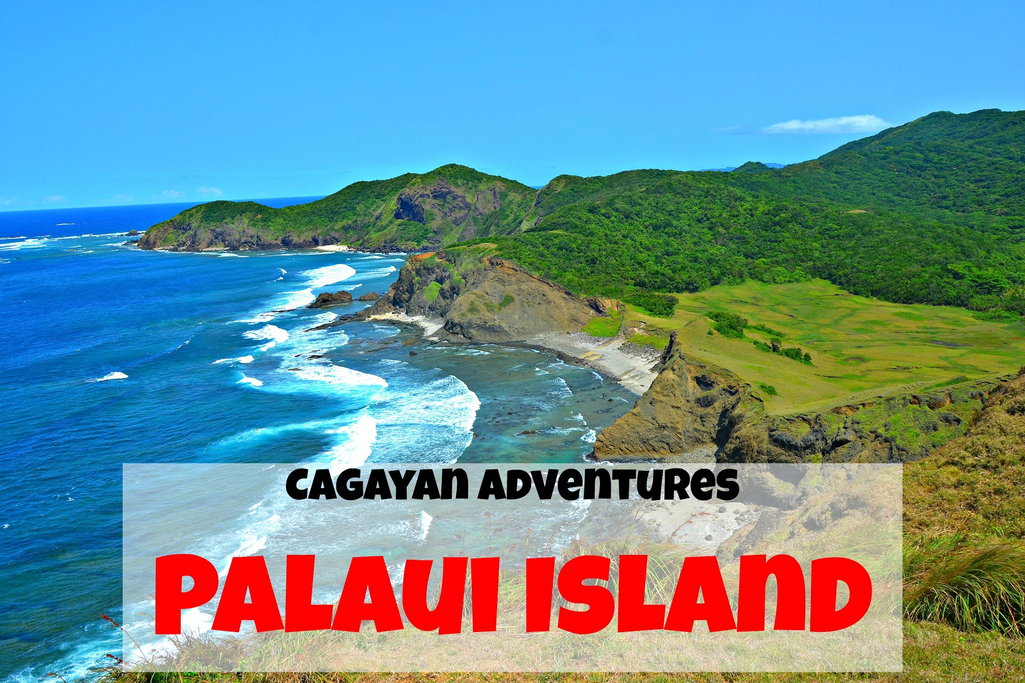
Our adventure today takes us 457 kilometers northwest of kilometer 0 in Manila. Located in the municipality of Sta. Ana in the province of Cagayan, Palaui Island is every backpacker's / island hopper's dream destination. Palaui Island Palaui Island Details  Palaui Island was declared a National Marine Reserve on August 28, 1994. It is home to countless species of migratory birds, corals, fishes, and even plants.  Palaui Island -  Sta. Ana, Cagayan Palaui Island as seen from San Vicente Port Palaui Island got into the international spotlight after it was used as the filming location for Survivor: Cagayan and Survivor: Blood vs. Water. Not only that, but Palaui Island is also placed in the 10th spot in CNN's World's 100 Best Beaches list. Dos Hermanos Islands as seen from Palaui Island Panoramic view of Palaui Island from Mt. Kabo My group visited the island to see its "raw" beauty. You see, the negative effect of becoming a popular island

Book your hotel thru KLOOK

Klook.com
Subscribe and get updated with the latest travel articles of The Backpack Adventures